Post ID: 359
| Reign: |
Unknown |
| Numerals: |
Unknown
|
| Last confirmed: |
October 2014 |
| Removed by: |
July 2016 |
|
Removed from its original location |
| Location: |
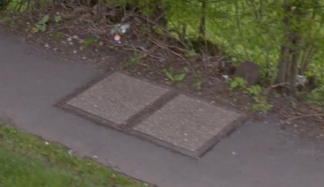
Chesterfield Road, 50m South of entrance to Dronfield nature park, Derbyshire
|
| Depth: |
Buried to just below distance plate. |
| Adjacent cover: |
Footway box cover adjacent. |
| Lat / Lng: |
 53.296019119,-1.455406244
Grid Ref:
SK 3639 7781
53.296019119,-1.455406244
Grid Ref:
SK 3639 7781
|
| Notes: |
Possibly removed by July 2016; pavement resurfaced 2021 and seems to be definitely gone now. |
| Identified by: |
AndyUT |
| Streetview: |
|
| tilt=-11.97387335961383300
direction=78.65743269311729000
zoom=2.37961023607557200
|
| Added to database: |
24/02/2021 20:26 |
| Last updated: |
27/04/2026 23:18 |
© Streetview
Photo taken May 2012
If you wish to contact me with feedback and suggestions for the GPO Markers website, please use the form
here.
If you have additional information or images of this marker, please
click here and complete the form.