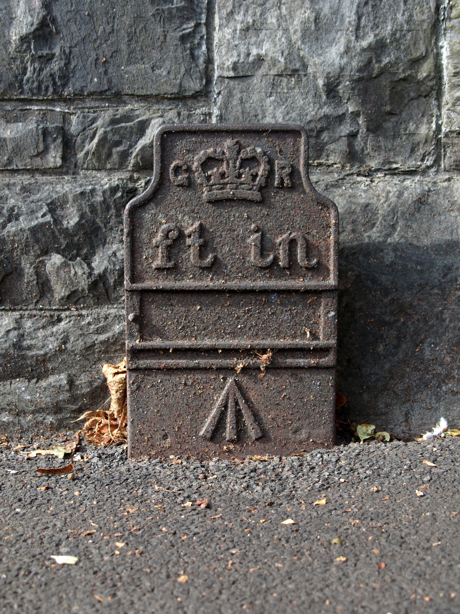
Post ID: 209
Reign: |
GR (George V: 1910 - 1936) |
Numerals: |
None remaining
|
Last confirmed: |
May 2018 |
Location: |
Mannamead Road, nr. Thornhill Road, Plymouth
|
Depth: |
Buried to just below broad arrow. |
Condition: |
Intact |
Adjacent cover: |
Footway box cover adjacent. |
Lat / Lng: |
50.39029370,-4.13052350
Grid Ref: SX486567
|
Notes: |
Plymouth Museum catalogue PPP-PMM TM 16 |
Web Reference: |
museumcatalogue.plymouth.gov.uk/details/collect/10...
www.flickr.com/photos/chrisinplymouth/15423992256/
|
Identified by: |
Plymouth City Council |
Streetview: |
|
tilt=-11.52399233927819500
direction=291.95909223653730000
zoom=2.38000000000000000
|
Added to database: |
15/11/2020 10:18 |
Last updated: |
04/12/2020 22:32 |
© Chris Williamson
If you have additional information or images of this marker, we'd love to hear from you.
If you wish to contact me with feedback and suggestions for the GPO Markers website, please use the form here instead.